E189 – Africa Maps – 0303
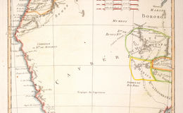
Lower Guinea, containing the Kingdoms of Loango, Congo, AngoIa and Benguela; with western and southern Kaffraria, or the land of the Hottentots (Khoikhoi)]
Copperplate map, dated 1788. 15.25 x 10.25 inches