Image ID: 220
Location of Fort Lee, along the Hudson. Americans evacuated this fort when pressed by the British attack in November.
Washington retreated across New Jersey, desiring to get his army across the Delaware River and to safety in Pennsylvania. He crossed the Delaware here at Trenton, NJ.
Philadelphia, the American capital, the largest city in North America, with population of 30,000.
New York City, on southern tip of Manhattan
Location of Fort Ticonderoga, captured by the Americans in 1775
Dots OFF
Dots ON


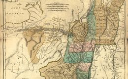
1776 Holland Map of New York and New Jersey
1777 New Jersey New York